
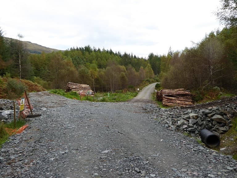
Pre-work site assessment
Survey the route before the machinery arrives. Know the access, the pinch points and the ground conditions in advance, rather than discovering them with a loaded truck.
Kelora Robotics develops autonomous robotic platforms that transform real-world environments into actionable intelligence.
We build intelligent robotic systems that understand the physical world. Terrain, infrastructure, and environments that are slow, costly, or unsafe to reach by hand.
The rover drives the route once. What comes back gets used differently depending on who is asking.
Survey the route before the machinery arrives. Know the access, the pinch points and the ground conditions in advance, rather than discovering them with a loaded truck.
Re-drive a route after weather and get a list of what moved. The comparison against the last survey is automatic, so the damage assessment starts from evidence.
Measured gradient, surface and width along the whole route, not spot checks. The record shows where a path stops being usable, and for whom.
Check a route carries the load before committing to it. Surface condition, camber and obstructions recorded end to end, ahead of extraction or delivery.
Every survey is comparable with the last. Deterioration shows as a trend across repeat visits rather than a judgement call on the day.
The same route in summer and after winter. Freeze, thaw and drainage all leave a signature in the surface data, and the difference is measurable.
Machine learning models trained on real-world surface data to classify ground conditions and predict traversability.
LiDAR, RTK GNSS, inertial, and camera data aligned into a single time-synchronised view of the environment.
Mission data processed into georeferenced 3D models, terrain maps, and traversability overlays for offline analysis.
First light from the Campsie Fells.
Positioning, communications, and power all carry a fallback path. A system that fails silently in the field is worse than one that never shipped.
Capture, storage, and export are engineered so telemetry and evidence make it back intact, even over an unreliable link.
Hardware gets built, tested in the field, and revised. The Campsie Fells are the review process.
Walk, ride, run or work on Scottish paths? Send us a photo of a defect and help train the system that finds them.