
Engineering-led, built to be used
Kelora exists to get useful data out of the places that are hardest to reach.
About Kelora
Across Scotland, the condition of paths, tracks and forest roads is still assessed by sending someone to walk or drive the route, often only four times a year. It is slow, infrequent, and produces a subjective record that is out of date long before the next survey comes round.
Land managers, foresters and infrastructure operators make maintenance, access and safety decisions on incomplete information. The cost of getting it wrong is high: emergency repairs, closed routes, stuck vehicles, accessibility failures.
Kelora is developing autonomous ground rovers that gather this information by physically traversing the route. As a rover drives, it records the condition of the ground beneath it: surface geometry, gradient, obstacles, ride roughness, position and geotagged imagery. The result is a measured, repeatable record of a route, accessible from an online dashboard.
The same route can be surveyed again and compared, so what matters is not just the condition today but what is changing, and how fast.
Our customers are the organisations responsible for keeping these routes usable. We develop in direct conversation with the people who do this work today: forestry bodies, land managers, local authorities and conservation organisations. What we build is shaped by what they tell us they actually need.
We are based in Scotland, with our primary test site in the Campsie Fells.
Team
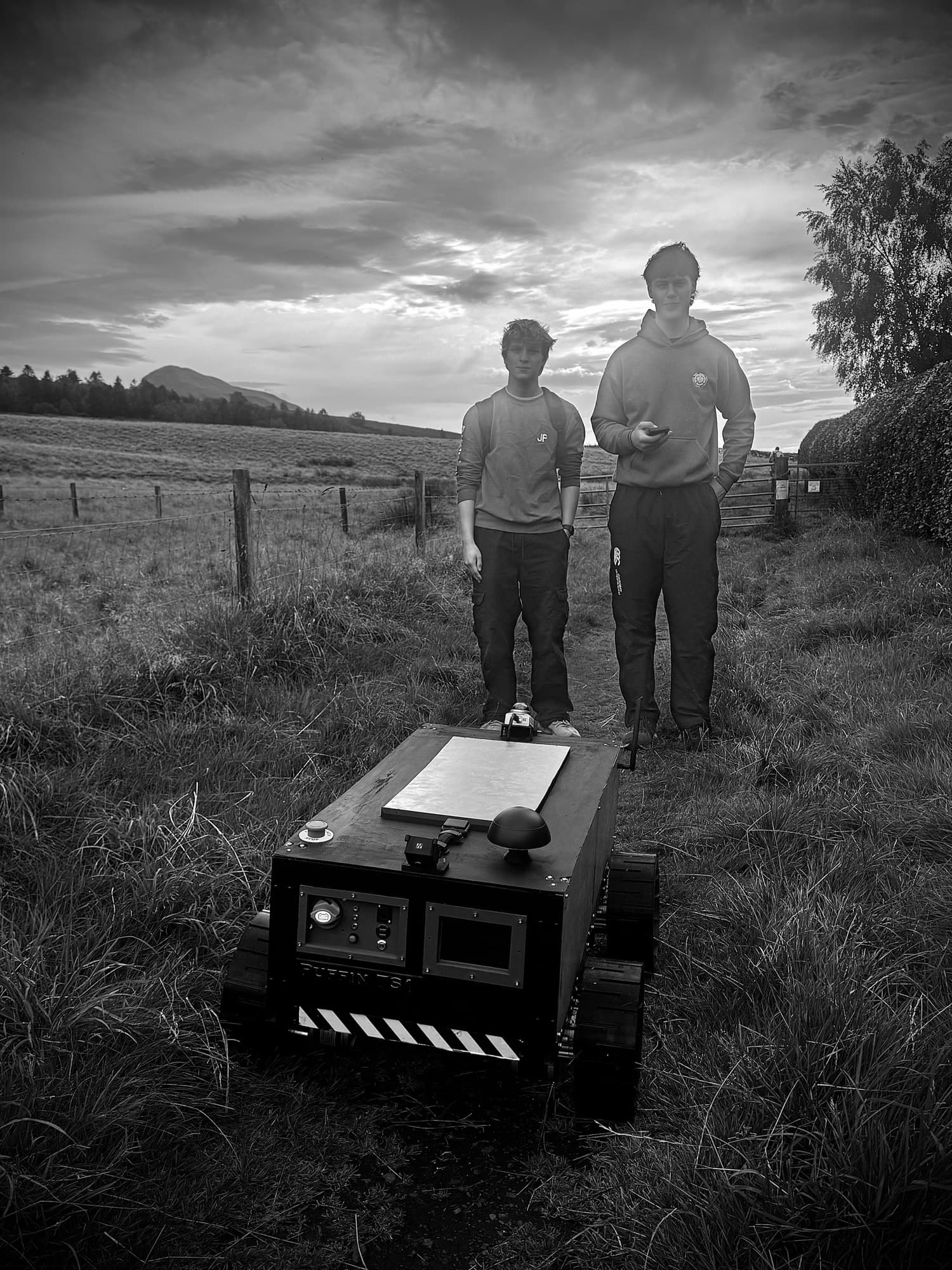
Systems engineer and robotics builder. Background in machine vision, embedded Linux, industrial inspection, and field engineering. Self-taught. Builds everything from wiring looms to ROS 2 nodes.
Mechanical design and integration. A background in physics, CAD and mechatronics, applied to how Kelora's structures, drivetrains and sensors fit together and survive the field.
Kelora is not yet hiring, but if you're an engineer who builds things and wants to talk, get in touch.